



GeoMark M20 Handheld GPS Navigator – Outdoor Field Survey & Land Measurement Device in Pakistan
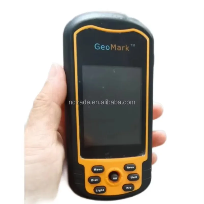
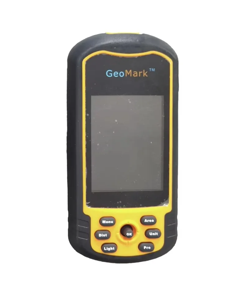
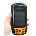
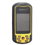
Surgical Hut and Medical Outlet offers the GeoMark M20 Handheld GPS Navigator, a rugged, professional-grade GPS device that helps surveyors, farmers, and outdoor professionals navigate, measure, and map with accuracy and confidence. Additionally, it features advanced positioning technology, a durable shockproof body, and intuitive controls, which makes it ideal for land surveying, agricultural mapping, and field navigation.
Because GeoMark manufactures this handheld GPS to trusted standards, it focuses on accuracy, durability, and everyday field usability. As a result, it suits surveying firms, agricultural use, forestry departments, and outdoor expeditions across Pakistan.
What is a GeoMark M20 Handheld GPS Navigator?
Medical Outlet offers the GeoMark M20 Handheld GPS Navigator, a rugged, battery-powered navigation device that allows users to accurately measure land area, track distance, and pinpoint coordinates in the field. By using a built-in e-compass and multi-coordinate system support, the device provides precise positioning, thereby reducing reliance on manual measurement tools and guesswork.
Furthermore, its intelligent design ensures reliable navigation across rough outdoor terrain while maintaining accuracy and durability.
Key Features of GeoMark M20 Handheld GPS Navigator
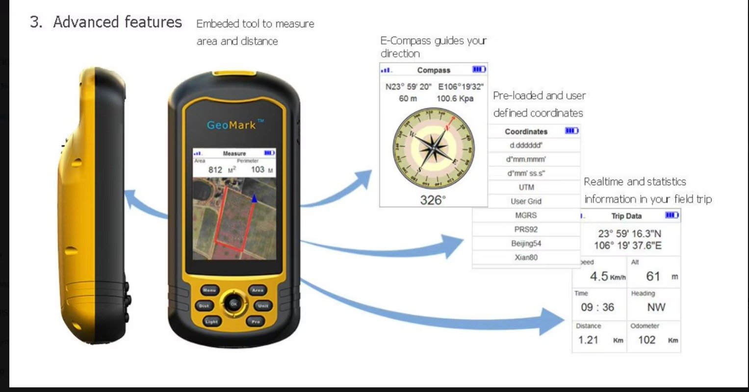
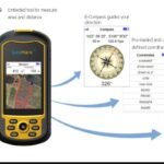
✔ Advanced Area & Distance Measurement — Specifically, an embedded measuring tool calculates field area (m²) and perimeter (m) directly on-screen, thereby delivering smooth and reliable land survey performance.
✔ Built-In E-Compass — For accurate on-ground navigation, a digital compass displays real-time coordinates, altitude, and heading direction — even in remote outdoor locations.
✔ Multiple Coordinate Systems — Meanwhile, the device supports pre-loaded and user-defined coordinate formats, thereby allowing flexible use across different survey and mapping standards.
✔ Real-Time Trip Data Display — Consequently, live statistics, including speed, altitude, heading, distance, and odometer readings, ensure users stay informed throughout their field trip.
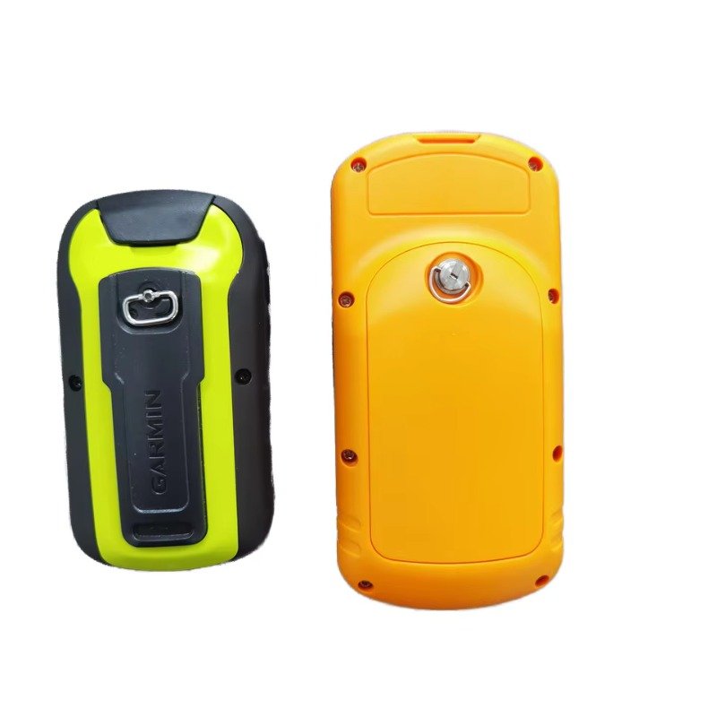
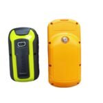
✔ Rugged, Shockproof Design — Finally, a weather-resistant casing and sturdy frame ensure maximum durability during outdoor and field operation.
Technical Specifications of GeoMark M20 Handheld GPS Navigator
Below, you’ll find the key specifications at a glance:
| Spec | Detail |
|---|---|
| Product Name | GeoMark M20 Handheld GPS Navigator |
| Positioning System | GPS with E-Compass |
| Coordinate Formats | d.ddddd°, d°mm.mmm′, d°mm′ss.s″, UTM, User Grid, MGRS, PRS92, Beijing54, Xian80 |
| Measurement Tools | Area (m²) & Perimeter (m) |
| Display | Color LCD screen |
| Control Method | Button keypad (Menu, Mark, Find, Zoom In/Out, OK/Rocker) |
| Build | Shockproof, weather-resistant casing |
| Connectivity | USB charging/data cable |
| Usage Area | Outdoor field navigation & land survey |
Uses of GeoMark M20 Handheld GPS Navigator
Overall, professionals widely use this handheld GPS navigator across different environments and needs:
✔ Land Surveying & Mapping — Specifically, surveyors can measure area and perimeter accurately during property and land assessments.
✔ Agricultural Field Use — Similarly, farmers benefit from mapping crop fields and measuring land for planning and management.
✔ Forestry & Outdoor Exploration — In addition, foresters and outdoor professionals rely on it while navigating remote and rugged terrain.
✔ Trekking & Expedition Navigation — Likewise, hikers and trekkers gain reliable positioning during long outdoor journeys.
✔ GIS & Professional Data Collection — Consequently, survey firms and GIS professionals commonly use it for field data collection across Pakistan.
Benefits of Using GeoMark M20 Handheld GPS Navigator
Overall, this device:
- Consequently, enhances field accuracy and confidence
- Therefore, reduces manual measurement errors
- Because of its rugged build, performs reliably in rugged outdoor conditions
- As a result, offers high durability and long service life
- Meanwhile, remains comfortable for extended field use
- Finally, requires minimal training to operate
Why Choose GeoMark M20 Handheld GPS Navigator?
Overall, the GeoMark M20 stands out due to its balance of accuracy, durability, and affordability. As a result, it serves as a dependable alternative to premium brands, offering reliable operation and long-term field performance. Moreover, its user-focused design ensures precision and ease of use, which makes it a preferred choice for both individual and professional surveying needs across Pakistan.
Ideal For
Specifically, this navigator suits:
- Land surveyors
- Farmers & agricultural professionals
- Foresters & outdoor explorers
- Trekkers & hikers
- GIS & survey firms
Frequently Asked Questions (FAQs)
1. What is the GeoMark M20 Handheld GPS Navigator used for?
Essentially, it helps surveyors, farmers, foresters, trekkers, and GIS professionals navigate, measure land area, track distance, and pinpoint coordinates in the field.
2. Can the GeoMark M20 measure land area and perimeter?
Yes. Specifically, its embedded measuring tool calculates field area (m²) and perimeter (m) directly on-screen for reliable land survey performance.
3. Does the GeoMark M20 include a digital compass?
Yes. Because it has a built-in e-compass, it displays real-time coordinates, altitude, and heading direction, even in remote outdoor locations.
4. What coordinate formats does the GeoMark M20 support?
Notably, it supports multiple formats, including d.ddddd°, UTM, MGRS, PRS92, Beijing54, and Xian80, which, therefore, allows flexible use across different survey and mapping standards.
5. Is the GeoMark M20 durable enough for rugged outdoor use?
Notably, yes — its shockproof, weather-resistant casing and sturdy frame ensure maximum durability during outdoor and field operation.
6. How does the GeoMark M20 compare to premium GPS brands?
Overall, it offers a dependable, more affordable alternative, delivering reliable operation and long-term field performance without the premium price tag.
7. Who should use the GeoMark M20 Handheld GPS Navigator?
Overall, land surveyors, farmers, foresters, trekkers, hikers, and GIS or survey firms all benefit from it, particularly those working in remote or rugged terrain.
8. Where can I buy the GeoMark M20 in Pakistan?
Currently, Surgical Hut and Medical Outlet supplies it nationwide across Pakistan.
Conclusion
In summary, the GeoMark M20 Handheld GPS Navigator works as a dependable field navigation solution that empowers users to survey, measure, and explore with accuracy and confidence. Thanks to its advanced measurement tools, built-in e-compass, multiple coordinate systems, and rugged shockproof build, it makes an excellent investment for long-term field use. Overall, whether for land survey, agriculture, or outdoor navigation, this handheld GPS delivers precision, reliability, and peace of mind — available nationwide across Pakistan.
There are no reviews yet.